
Description
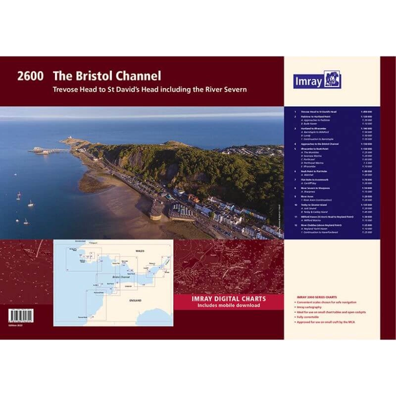
Imray 2600 Bristol Channel Chart Pack | YOT0858 ISBN 9781786794314
Covering the whole of the Bristol Channel from Trevose Head to River Cleddau and Sharpness in a folio of 12 handy wire-bound A2 charts in a sturdy plastic wallet.
The chart pack includes all the navigational charts and tidal data for passage, approach and mooring.
Ideal for small craft.
Included
- 2600.1 Trevose Head to St David’s Head
- 2600.2 Padstow to Hartland Point including plans of Padstow and Bude Haven
- 2600.3 Hartland to Ilfracombe including plans of Barnstaple to Bideford and Lundy
- 2600.4 Approaches to the Bristol Channel
- 2600.5 Ilfracombe to Nash Point including plans of the Mumbles, Swansea Marina, Porthcawl and Ilfracombe
- 2600.6 Nash Point to Flat Holm including Watchet
- 2600.7 Flat Holm to Avonmouth including plan of Cardiff Bay
- 2600.8 River Severn to Sharpness including plan of Sharpness
- 2600.9 River Avion
- 2600.10 Tenby to Skomer Island with plans of Jack Sound, Tenby & Caldey Island
- 2600.11 Milford Haven – St Anne’s Head to Neyland Point with plan of Milford Marina
- 2600.12 River Cleddau – above Neyland Point with plan of Neyland Yacht Haven


Reviews
There are no reviews yet.